This route takes you on a journey through the territory, landscape, urban space and buildings of the four colonisation settlements in Terres de Ponent.
In 1939, Franco’s government established the National Colonisation Institute (INC) to carry out a major national project: transforming part of the uncultivated and dry land into irrigated farmland. In addition to the necessary water infrastructure, it had to plan the construction of almost 300 villages to house the agricultural labour force needed to make agriculture the economic source of a country that had to survive under a regime of self-sufficiency.
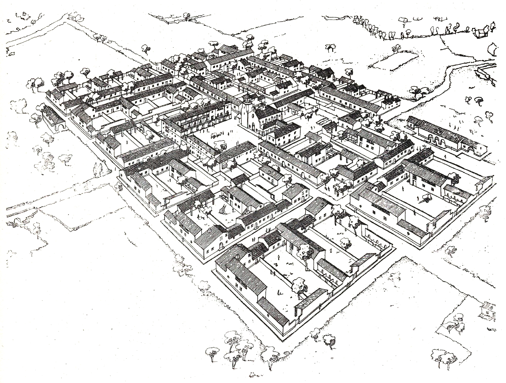
Sucs, Gimenells, Pla de la Font and Vensilló are the four new settlements created by the INC in the irrigable area of the Aragon and Catalonia canal. The four villages in the Terres de Ponent were designed by architects José Borobio (Sucs, 1945, and Pla de la Font, 1955), Alejandro de la Sota (Gimenells, 1945) and Manuel Jiménez Varea (Vensilló (Huesca), 1961). Also noteworthy are 1943 and 1946, based on the project by Alejandro de la Sota and the intervention of José Borobio.
Although they had to follow the guidelines set by the INC, the architects of the settlements enjoyed sufficient freedom when designing them. The weak economic situation and international isolation gave rise to architecture based on traditional systems and local materials. The architects adapted to these conditions and, using the particular elements of each site, proposed a coherent, functional and pleasant style of architecture that emerged from each of their drawing boards.
The sensitivity of their architecture can be seen in its implementation in the territory, the dialogue between the villages and the rural landscape, the respect for work in the countryside, the awareness of collective life with regard to public spaces, the rejection of folklore or monotonous, dehumanised solutions, and the dignification of domestic space.
The nature of the villages allowed for architectural experimentation that spontaneously forged the arrival of modernity, both in urban proposals and in buildings, which the itinerary directly attests to if it is followed in chronological order of creation. In particular, the route offers a valuable tool for reflecting on urban planning and architecture in rural areas and on the impact of the human scale on the territorial, landscape, urban and domestic spheres. A journey from the immensity of the countryside to the cosiness of the home.
*Vensilló is not included in the itinerary shown on the map, as the Arquitectura Ctalana register is limited to the territory of Catalonia.
 7
7