Sant Cugat is a city shaped by its streams. Its origins lie in a Roman villa located at the narrowest and highest point between two of these streams (the easiest place to defend), where the monastery was built. For this reason, the proposed itinerary begins at the monastery’s eastern wall, which was restored a few years ago, along with the recognition and improvement of the history of the place and the quality of the public space surrounding it.
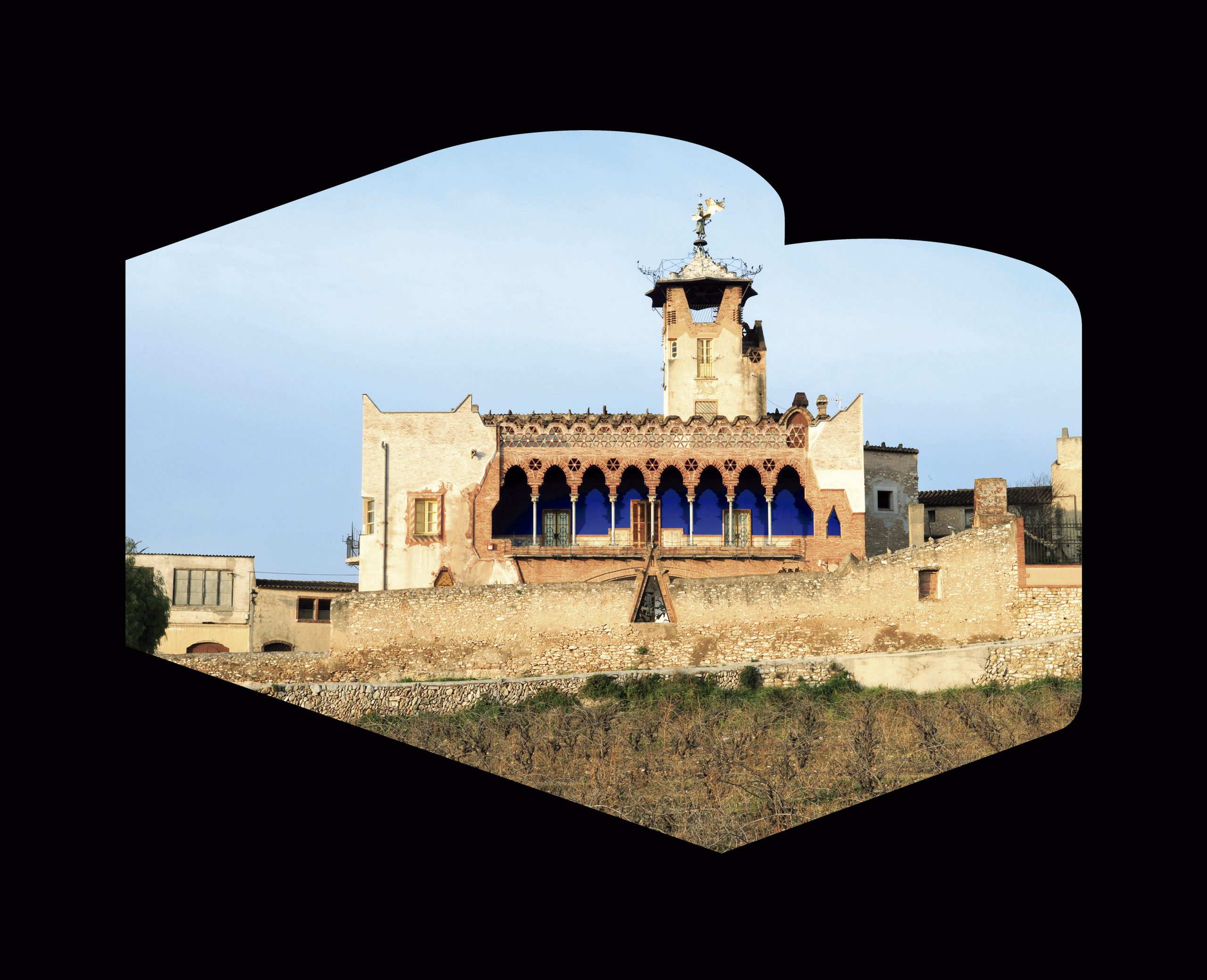
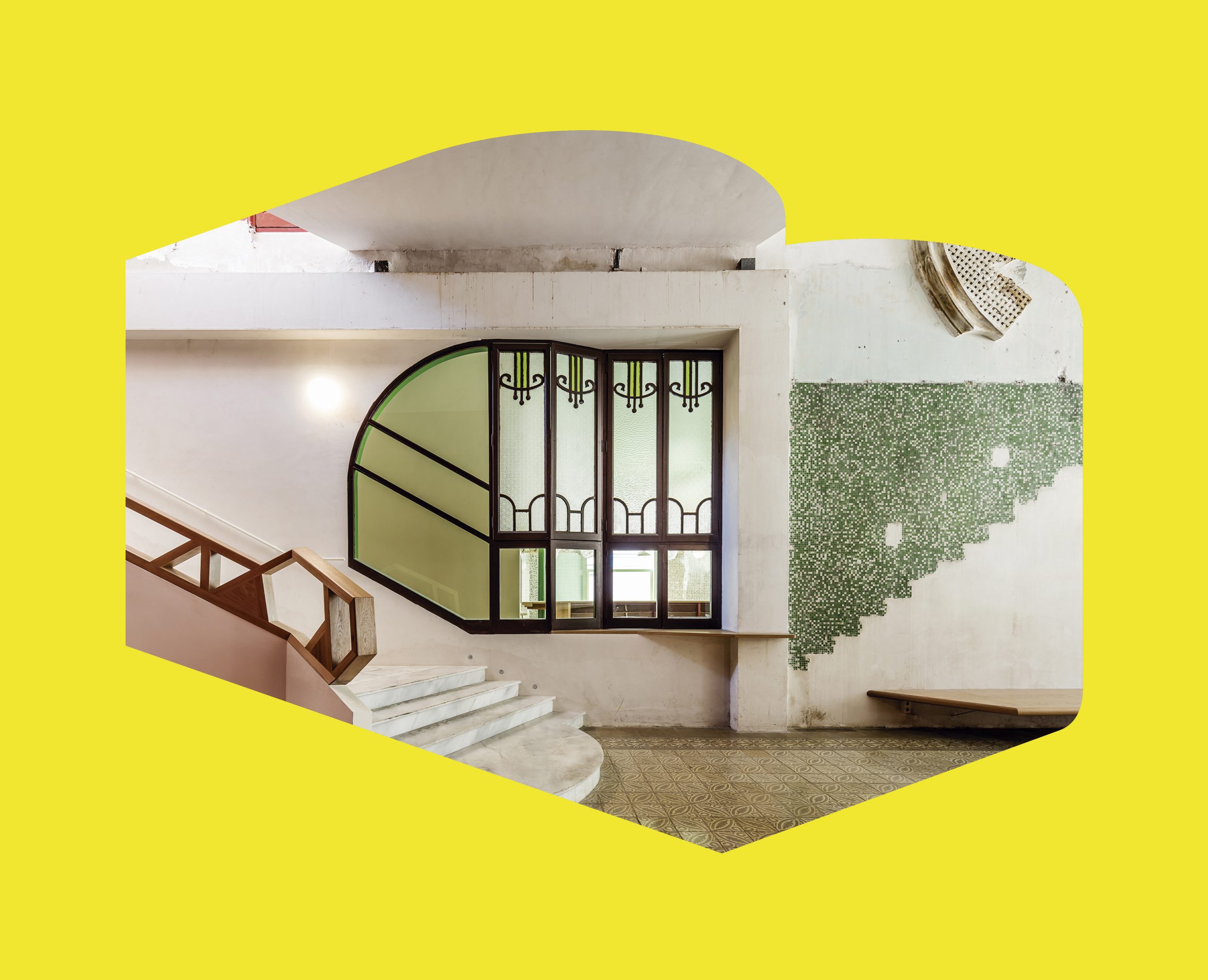
If we follow the wall southwards, we find houses between partitions that adapt to the terrain; a good example is the renovation of a house opposite one of the towers, designed by Josep Ferrando. Next, we will go down Carrer de Sant Medir towards the Sant Cugat stream, where we will find the houses of Enric Pi and the cooperative winery of Cèsar Martinell. We will continue to the buried Sant Cugat stream (Rambla del Celler, Rambla de Jaume Sabat and Rambla de Can Mora) until we reach the old Gràcia road. At the end of the 19th century, this new access to Sant Cugat from Barcelona via La Rabassada led to the phenomenon of summer holidaymakers, the construction industry, the expansion beyond the limits of the Sant Cugat stream and the urbanisation of the southern expansion with single-family homes with large gardens. The good quality of the clay and the arrival of the train at the beginning of the 20th century favoured the boom in tile factories and the construction of these bourgeois houses with bricks, as well as the first significant increase in population.
The western boundary of this low-density neighbourhood of houses with gardens is the Sant Cugat Golf Club. Frederick Stark Pearson, the engineer and entrepreneur who brought the railway to Sant Cugat, bought the country house and land of Can Mora to build one of the first golf clubs in Catalonia. The golf course runs along a section of the drainage canal for the Can Trabal and Saladrigues torrents.
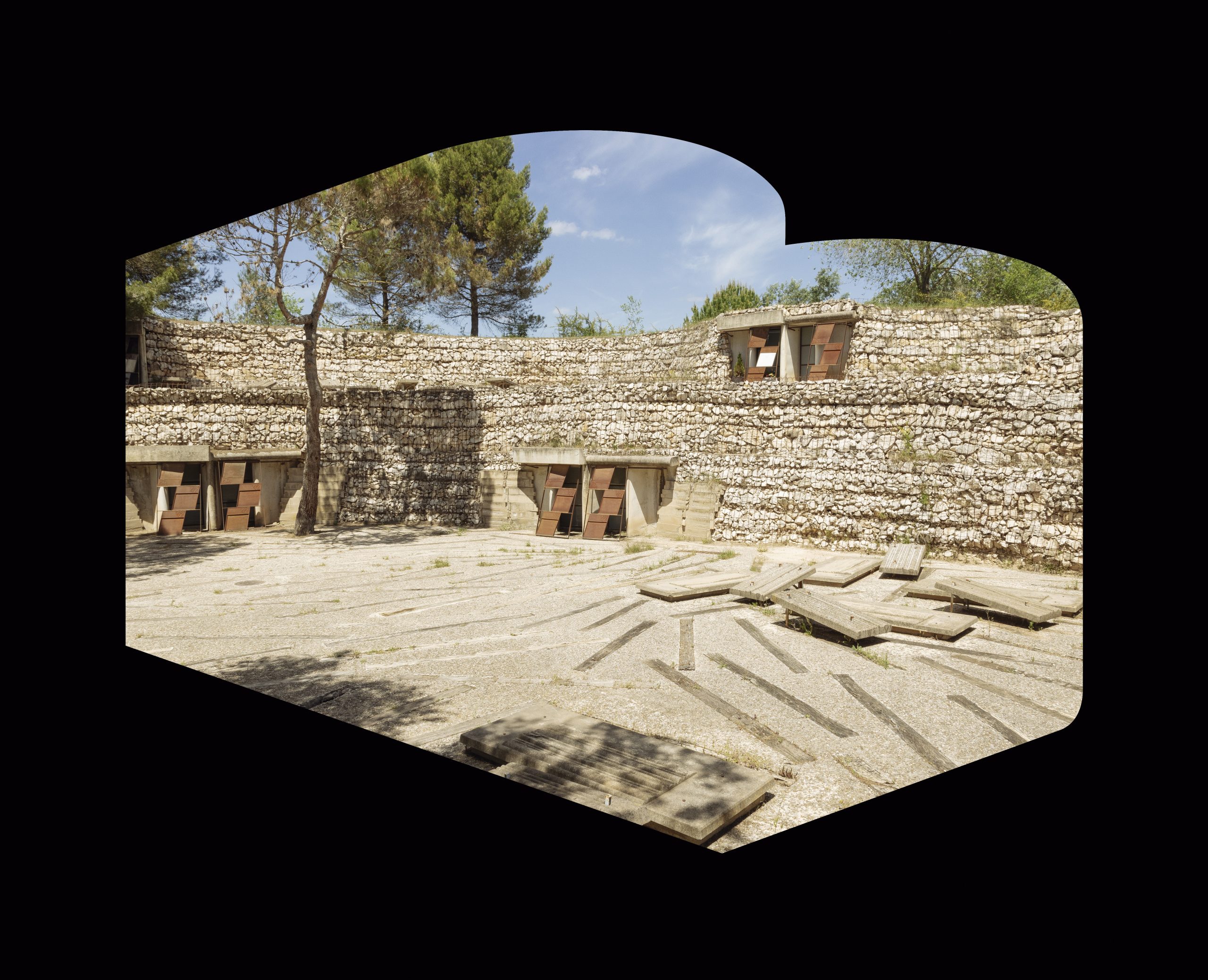
The route continues to the Ribera promenade, where we come across the open-air Can Trabal stream, which we follow upstream until we come to three detached houses overlooking the golf course woods: the AA house by Ferrater, the Luque house by Coderch i Valls, and, back to the center and the street of Villar -of higher density-, a singular reform and expansion of a summer house of the 1930s, of Bailo and Rull.
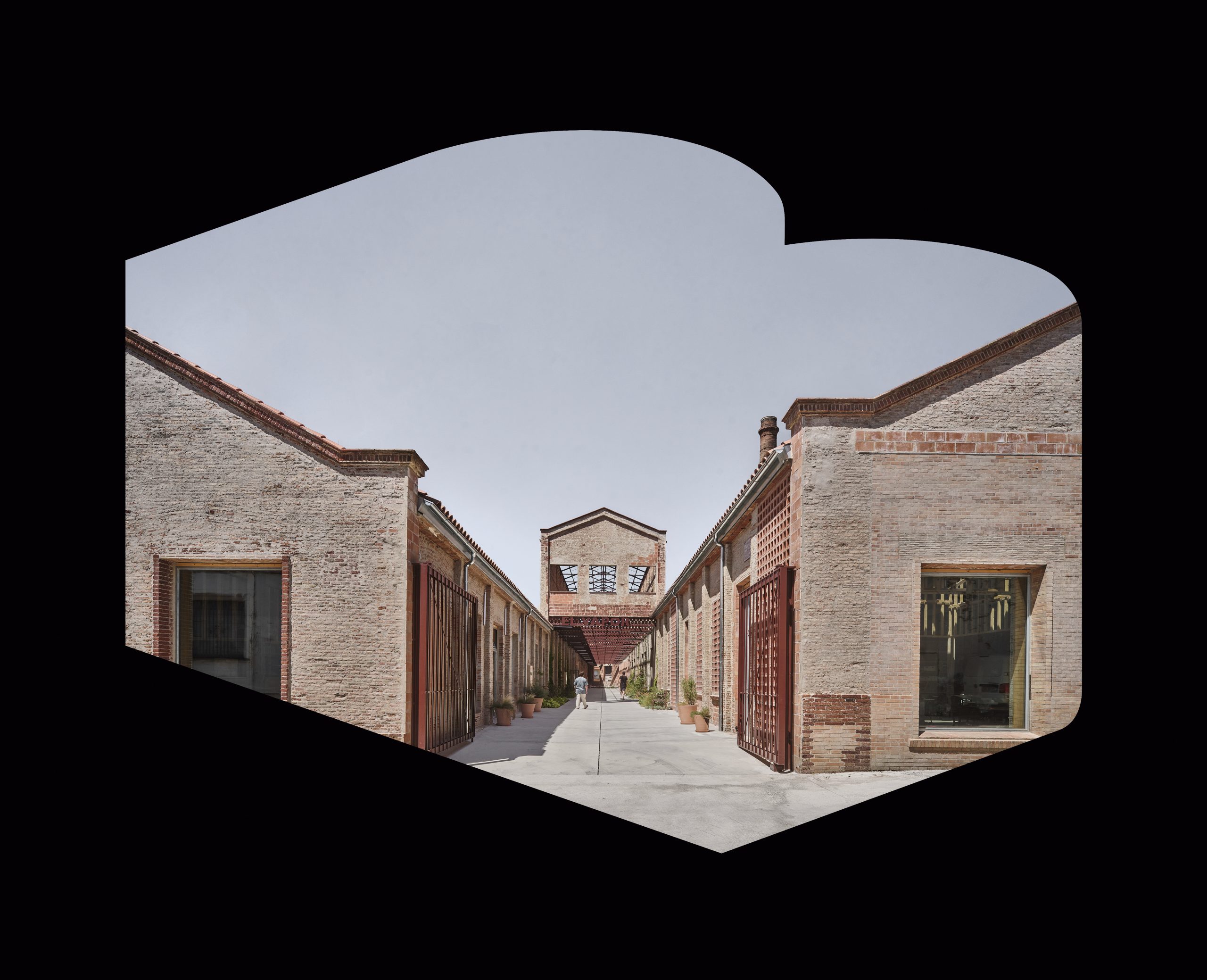
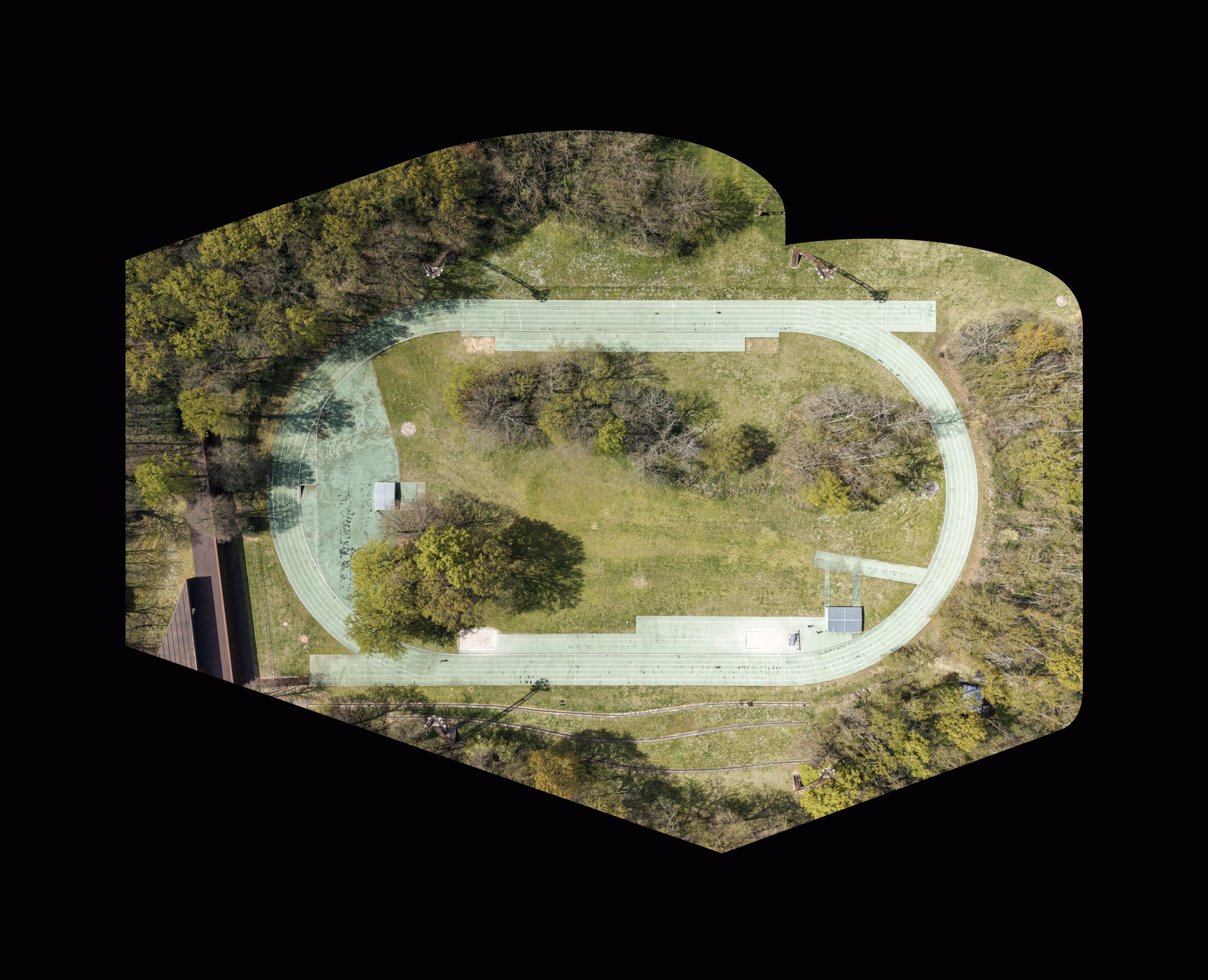
This route aims to show not only the function of streams as connecting vectors or as boundaries in the urban fabric, but also as generators of quality urban planning. Therefore, we will head towards where the Bomba stream is channelled to follow it until we find it in the open air, in the Parc Central. A project by Batlle i Roig to develop a new neighbourhood in the 1990s, based on the orographic recognition of the site and a change in planning to avoid covering the stream. With the strategy of building on the banks, adapting the buildings morphologically to the terrain and centralising the green areas, temperatures 3°C lower than in other areas of the city are achieved.
 2
2