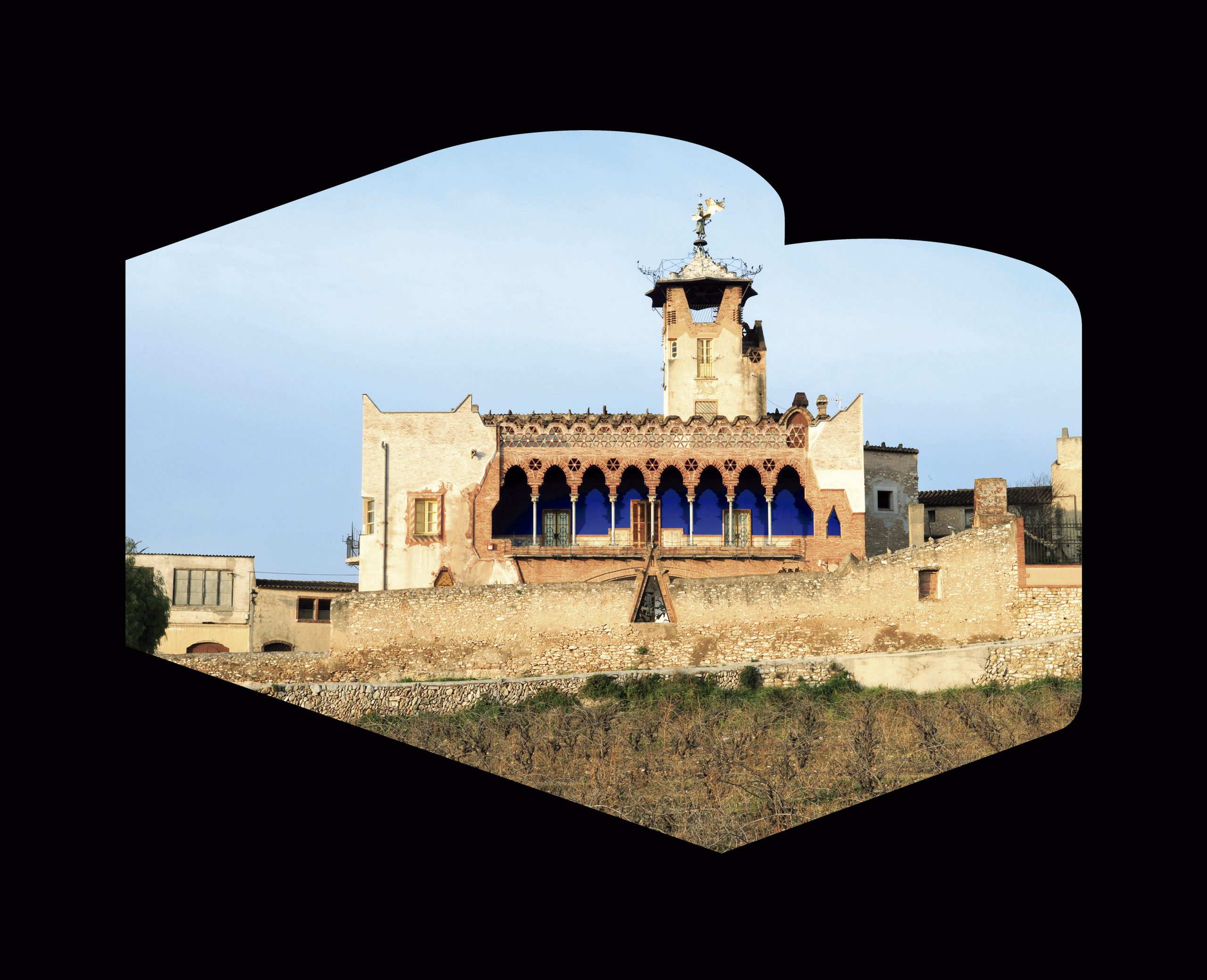
The itinerary may seem arbitrary, as it includes works with differing degrees of intervention in the landscape, distinct from one another both temporally and formally. This variety is precisely what has been sought, as it reflects the wide range of geographical and morphological conditions offered by the rural context of the counties of Alt and Baix Empordà, Gironès and Pla de l’Estany.
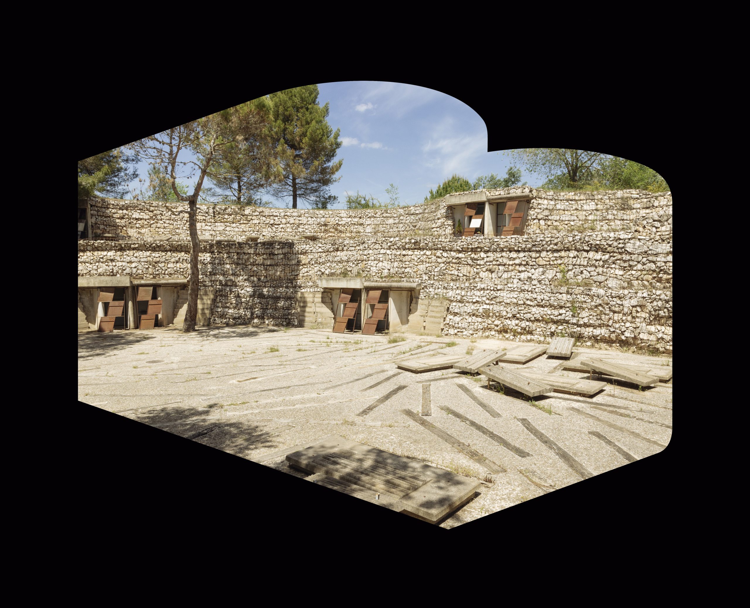
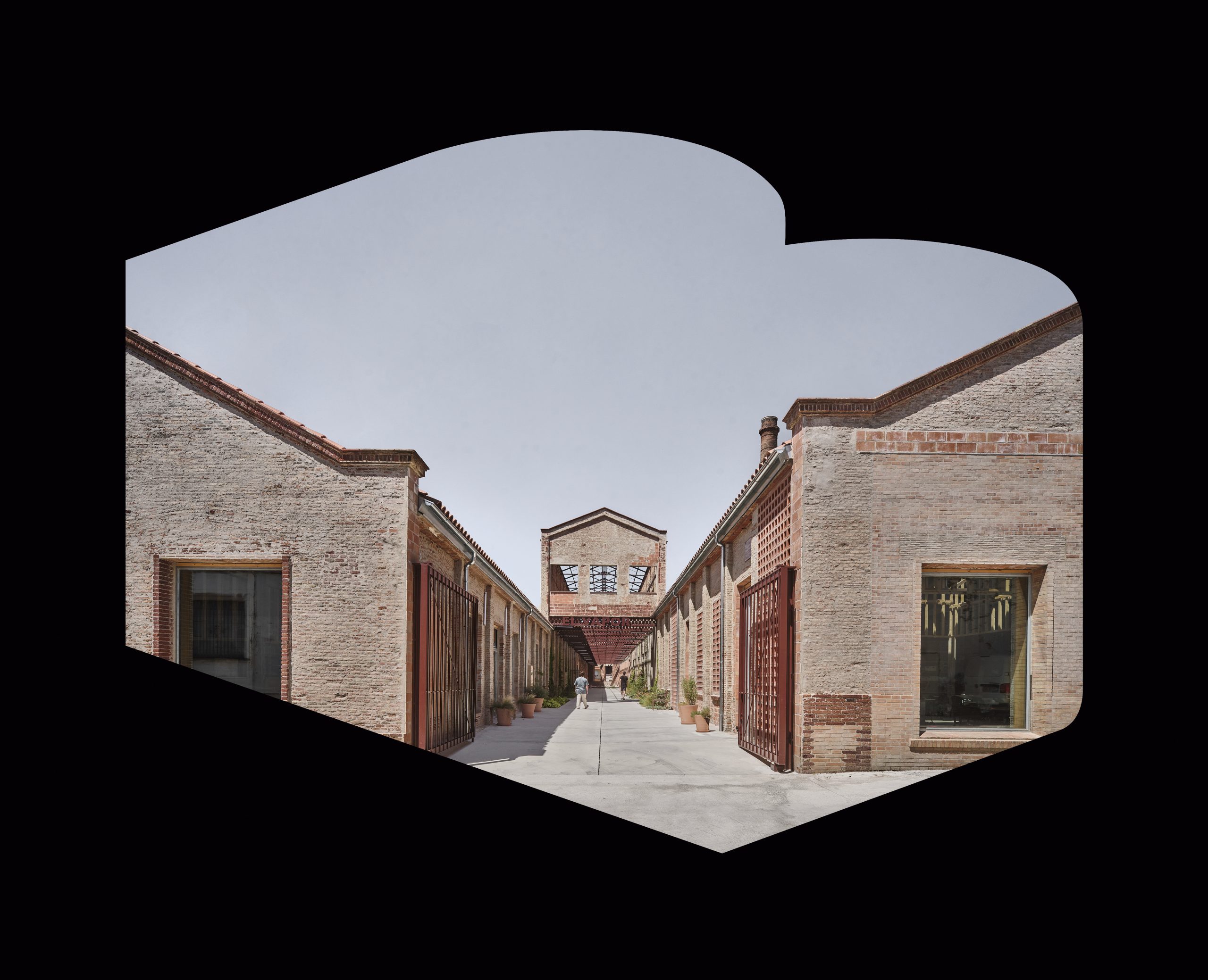
Along the itinerary, more intimate or enclosed places are combined —where scale plays an important role, such as the re-urbanisation of Ullastret— with more expansive ones; places of passage or strolling alongside places for gathering; viewpoints, parks, vertical structures that evoke watchtowers or lighthouses offering distant views; as well as recovered and lightly formalised paths that bring us closer to, and into, places which, although they may have lost part of their original use or meaning, have endured over time.
These are places that edge water: either freshwater —such as those found at Lake Banyoles, the Monar canal at the level of Salt, or the River Ter in the city of Girona— or the sea, as in Empúries, the first Greek settlement on the Iberian Peninsula, in the Bay of Roses, or along the seafront. There are also other “edges”, such as former agricultural land, particularly market gardens, as in the case of the orchards of Vilabertran, near Figueres, where the boundary between countryside and city is drawn and redrawn; or La Vora de Girona, on the Les Pedreres hillside, which is both close at hand and a lookout point. With their vertical and punctual presence, contemporary lookouts accompany and punctuate the edges of the route; and, like the old sentry towers found both along the coast and inland, they allow us to rise above the landscape and perceive the richness and interrelationship between towns, fields and woodland, or to grasp the shifts in perspective offered by the lakes with Cape Norfeu in the distance.
 4
4